Viktor Brooks · 2 September 2026
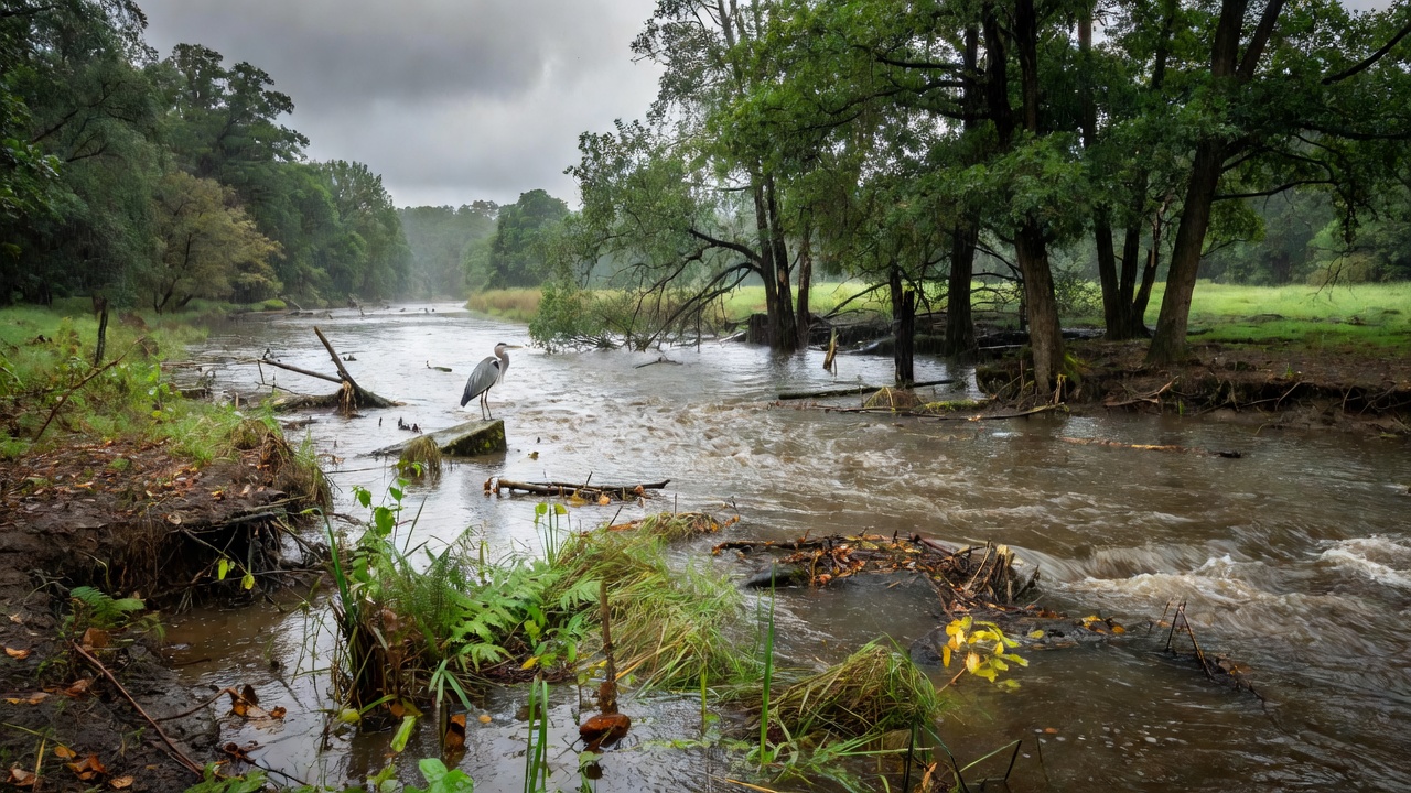
Valewood experienced its heaviest rainfall in more than a decade last month, with totals exceeding 15 inches over ten days. The Valewood River rose sharply, flooding banks and altering habitats across several miles. Local gauges recorded peak flows 60 percent above seasonal norms, carrying large volumes of sediment and debris downstream.
River Levels and Flooding Patterns
The surge submerged adjacent wetlands for extended periods, reducing their capacity to filter runoff. Water samples collected by county monitors revealed higher concentrations of nitrogen and phosphorus from agricultural fields, raising concerns about future algae development. Erosion exposed tree roots along 2.3 miles of shoreline, and several access trails were washed out. Residents noted faster currents transporting logs and trash farther than usual, while groundwater levels in nearby wells increased noticeably within days.
Continued high discharge prevented normal sediment settling, leaving the riverbed less stable for bottom-dwelling organisms. Officials closed two popular fishing access points until debris could be cleared.
Consequences for Local Flora and Fauna
Trout spawning beds were scoured by turbulent water, displacing eggs and reducing this year's fry counts. Insect hatches declined sharply in flooded zones, limiting food for birds and fish. Riparian vegetation suffered mixed results: some native grasses were uprooted, yet others showed vigorous regrowth from extra moisture. Invasive knotweed patches expanded in disturbed soil, prompting early removal efforts by volunteers. Biologists expect full recovery of fish populations to require at least two breeding cycles, with ongoing surveys tracking dissolved oxygen and temperature shifts. Community groups plan monthly cleanups to limit further pollution from flood debris.